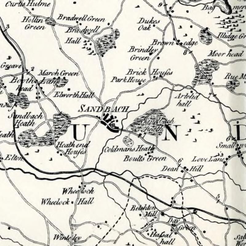
Peter Perez Burdett’s “Survey of the County Palatine of Chester” was published on 1 Jan 1777.
A facsimile was published in 1974 by The Historic Society of Lancashire and Chester, and includes 4 maps of the area. The dust jacket notes that “At a scale of 1 inch to 1 mile it vividly portrays the Cheshire landscape on the eve of a period of great change, recording villages, hamlets, country houses and parks, woodlands, commons, watermills, and many other features in far more detail than any written history.”
The book notes that “Among nearly 700 separate printed maps of Cheshire relating to the period from 1577 to 19001 only a handful were based on systematic and first-hand surveys of the countryside”, including:
| 1577 | Christopher Saxton | c. ½ inch to 1 mile |
| 1777 | Peter Burdett | 1 inch to 1 mile |
| 1819 | Christopher Greenwood | 1 inch to 1 mile |
| 1813 | William Swire and W. F. Hutchings | ¾ inch to 1 mile |
| 1831 | Andrew Bryant | 1¼ inches to 1 mile |
| 1833-1843 | Ordnance Survey | 1 inch to 1 mile |