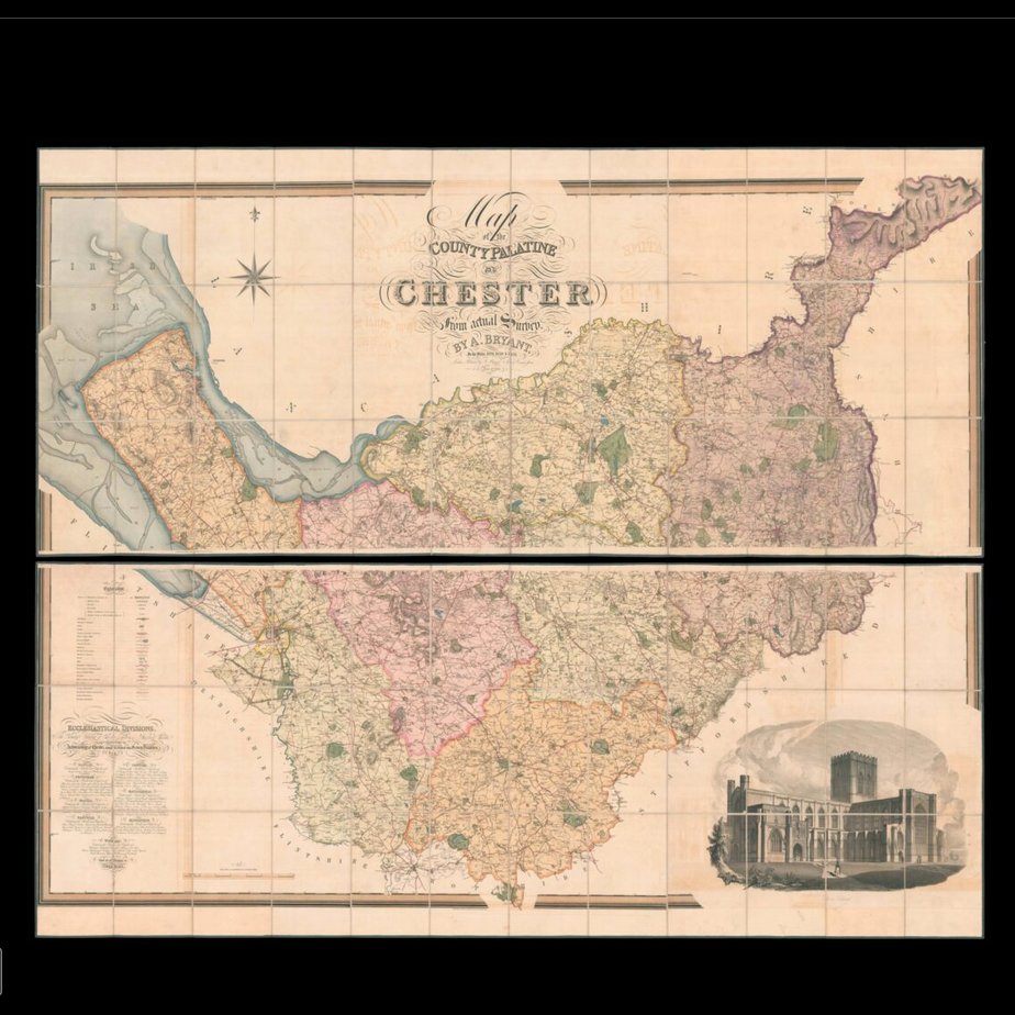
Andrew Bryant’s large-scale map of Cheshire
Map of the County Palatine of Chester from an actual Survey by A. Bryant. In the Years 1829, 1830 and 1831.
Author: BRYANT, Andrew
Publication place: London
Publisher: Published by A. Bryant, 27 Grt. Ormond Street
Publication date: May 3rd, 1831.
Physical description: Large-scale engraved map, in two sections, fine original full-wash colour, dissected and mounted on linen, calligraphic title, key lower left, map edged in green silk, housed within original red morocco slipcase, lettered in gilt.
Dimensions: 1340 by 1610mm. (52.75 by 63.5 inches).
