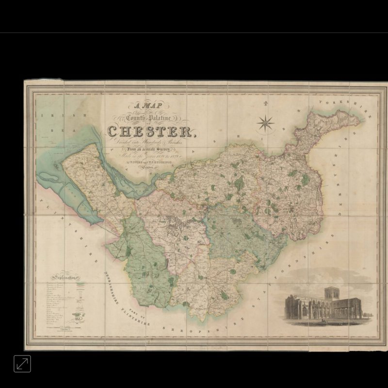
Hutchings’ large-scale map of Cheshire
A Map of the County Palatine of Chester Divided into Hundreds & Parishes, From an Accurate Survey, Made in the Years 1828 & 1829. By W. Swire & W. F. Hutchings, London.
- Author: SWIRE, W. & HUTCHINGS, W. F.
- Publication place: London
- Publisher: Published by Henry Tessdale & Co. 302, High Holborn
- Publication date: August 1st, 1832.
- Physical description: Large engraved map, dissected and mounted on linen, fine original full-wash colour, south west view of Chester cathedral, lower right, edged in green silk, lower left silk edging missing, housed in original tree calf pull-off slipcase, spine ruled in gilt, red morocco label lettered in gilt to spine, rubbed.
- Dimensions: 990 by 1330mm (39 by 52.25 inches).
- Inventory reference: 1320
